Cuando
Rivers, miombo, and the great south-eastern wilderness
Angola's least-visited corner — a vast mosaic of miombo woodland, river deltas and savanna along the Cuando, Cuanavale and Cubango rivers, part of the largest cross-border conservation area on earth.
Cuando is the Angola you have probably never seen on a map. The province (until recently called Cuando-Cubango) shares a long border with Zambia and Namibia, and most of it is wilderness — miombo forest, dambos, slow brown rivers full of barbel and tigerfish.
This is not a casual trip. Roads are poor, fuel is rare, malaria is real, and most of the parks were heavily mined during the civil war (large areas have been cleared but you stick to known tracks). What you get in exchange is one of the last truly empty places in southern Africa.
Go with an experienced operator. Take a sat phone. Bring everything you need.
Highlights of Cuando.
-
KAZA Transfrontier Conservation Area
Angola, Namibia, Botswana, Zambia and Zimbabwe share this contiguous protected landscape — bigger than Germany. Cuando-Cubango is the wildest piece.
-
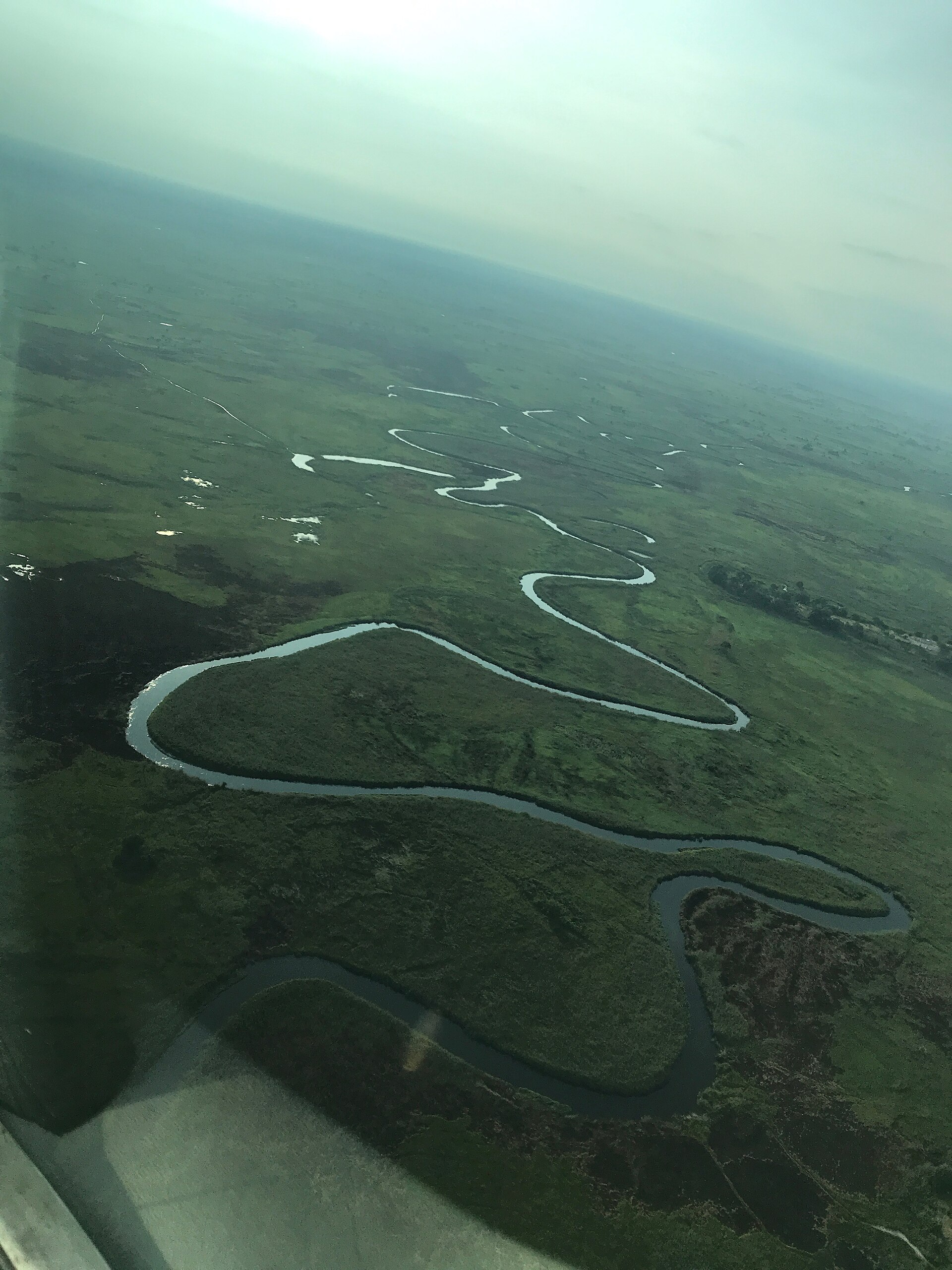
The Cuando and Cuito rivers
These rivers feed the Okavango Delta downstream. Their headwaters in Angola are pristine — clearwater channels through papyrus, with returning elephants, lechwe and sitatunga.
-
Mavinga and Luengue-Luiana parks
Recently re-resourced, with growing wildlife populations after decades of war and neglect. Specialist 4×4 expeditions are starting to return.
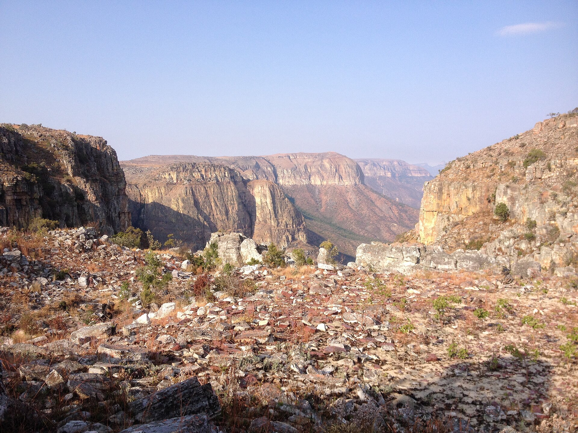
Cuando in pictures.